The Colorado webcam guide
Silverthorne and Dillon
3 camera views · 1 stream embeds · Snapshots refresh every 60 seconds while visible.
Live streams
Click to load a provider's player. Pause or stop it when you're finished.
 SnapshotChecking image…
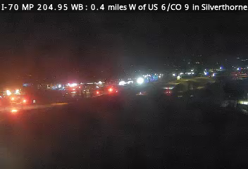 SnapshotChecking image…
 SnapshotChecking image…
Feed status reflects a migration-time image request, not a guarantee that the image is current. Check the image timestamp. Camera imagery © the credited provider.
About Silverthorne and Dillon
Silverthorne is situated between the Gore Range to the west and the Continental Divide to the east. The two most visible mountains are Buffalo and Red Mountains. Also surrounding the valley are Ptarmigan, Tenderfoot, and Ten Mile Peaks .
Silverthorne has a highland-influenced subpolar climate with warm summer days, cold nights year round, as well as cold and snowy winter days. Average annual snowfall in nearby Dillon is 115.5 inches (292.6 cm). Its all time record high temp is 99°F (32°C), set on June 21, 2012, and it’s coldest ever temperature was −46°F (−43°C) set on a very cold Xmas Eve (December 24) in 1923.
Camera credits & local resources
Silverthorne and Dillon on the map
Location from the original Keno map embed; it marks the destination, not each camera.
Keep exploring
Original Keno page · Original descriptions © Keno Internet Services.