 SnapshotChecking image…
View of the Collegiate Mountains from Salida (from tandacad.com)
Source: koransky.com
6 camera views · Snapshots refresh every 60 seconds while visible.
SnapshotChecking image… SnapshotChecking image…
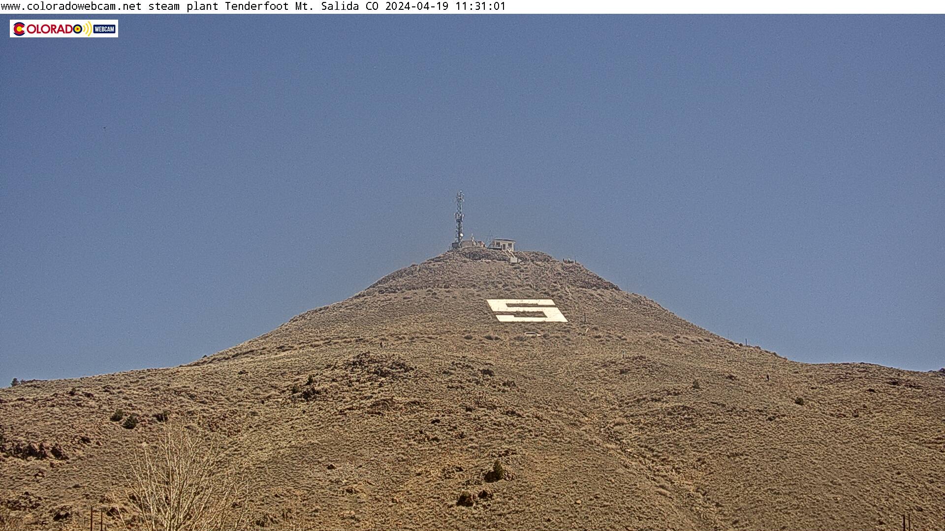 SnapshotChecking image…
 SnapshotChecking image…
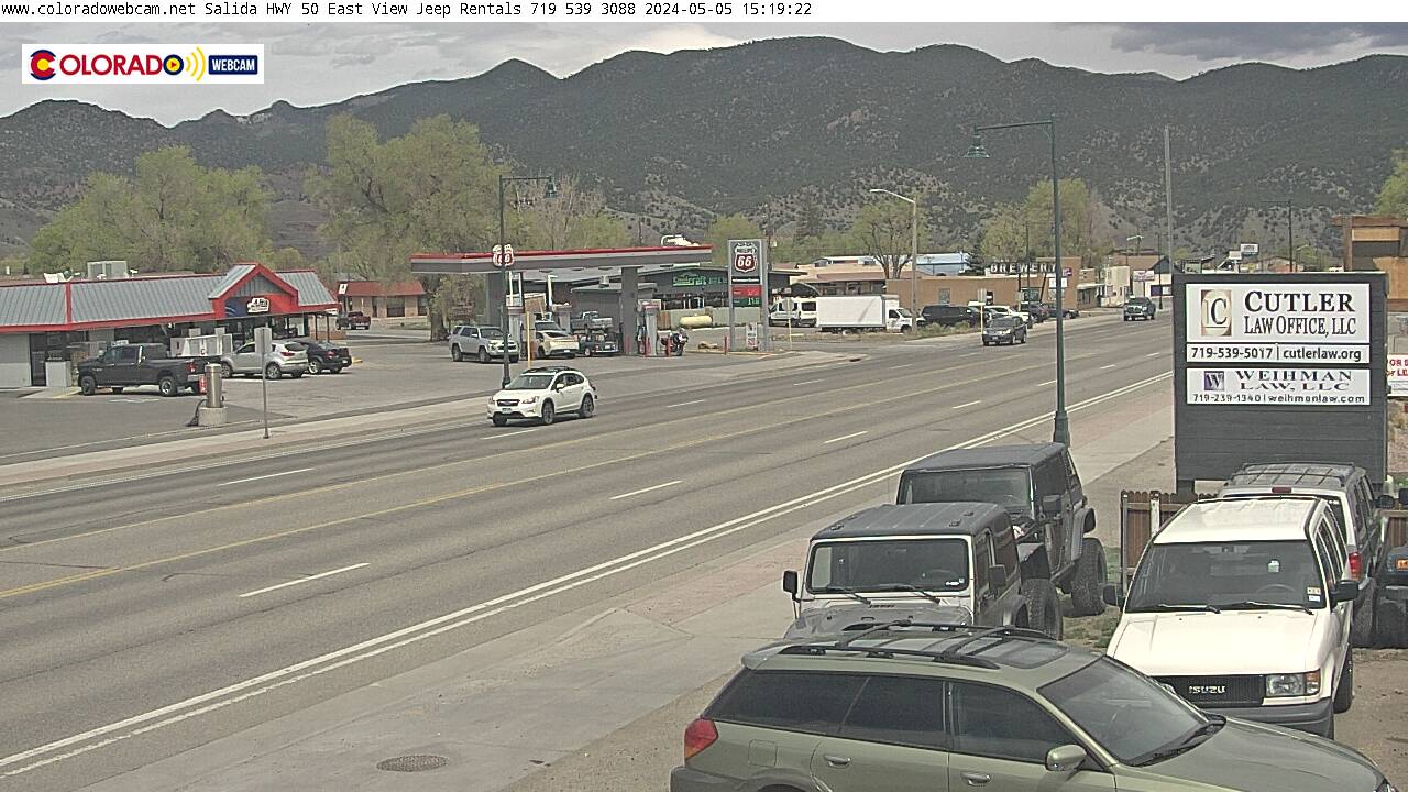 SnapshotChecking image…
 SnapshotChecking image…
The City of Salida (sə-LY-də is the county seat and most populous city of Chaffee County, Colorado.The population was 5,666 at the 2020 census and its elevation is at 7,083 feet (2,159 meters). The Arkansas River runs through the town, and is the major source of water for local agriculture. Salida is renowned as a premier year-round outdoor recreation hub, featuring extensive mountain biking, whitewater rafting and fishing on the Arkansas River, and skiing at nearby Monarch Mountain. Located in the “Banana Belt,” it boasts a mild climate and a historic downtown with a large creative district, and close access to numerous 14,000-foot peaks. Then there’s the Salida Hot Springs Aquatic Center, one of the largest indoor hot springs facilities in the country. Finially, Salida has year-round festivals in Riverside Park, highlighting its outdoor-focused culture, arts, and music. Key events include the premier whitewater festival FIBArk (in June), the Salida Fiber Festival (in September), Colorado Brewers Rendezvous (July), and community-focused gatherings like Smalltown (a music fest). According to the Köppen climate classification, Salida has a cold semi-arid climate. The coldest ever temperature was −35°F (−37°C) while the hottest ever day was 103°F (39°C). This Banana Belt town doesn’t see a lot of snow overall for a Colorado mountain/foothills town, seeing only around 36.7 inches (93cm) of snow per snow season, along with about 16.3 snowly days per year.
Location from the original Keno map embed; it marks the destination, not each camera.
Original Keno page · Original descriptions © Keno Internet Services.