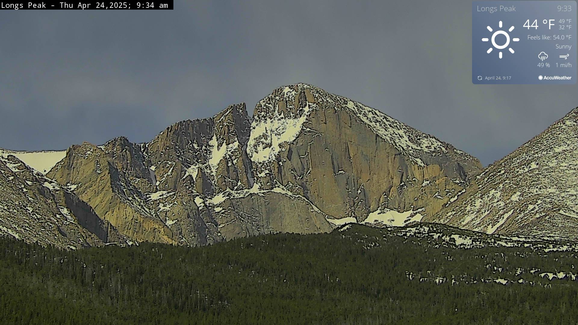
 SnapshotChecking image…
The Colorado webcam guide
Rocky Mountain National Park
5 camera views · Snapshots refresh every 60 seconds while visible.
SnapshotChecking image…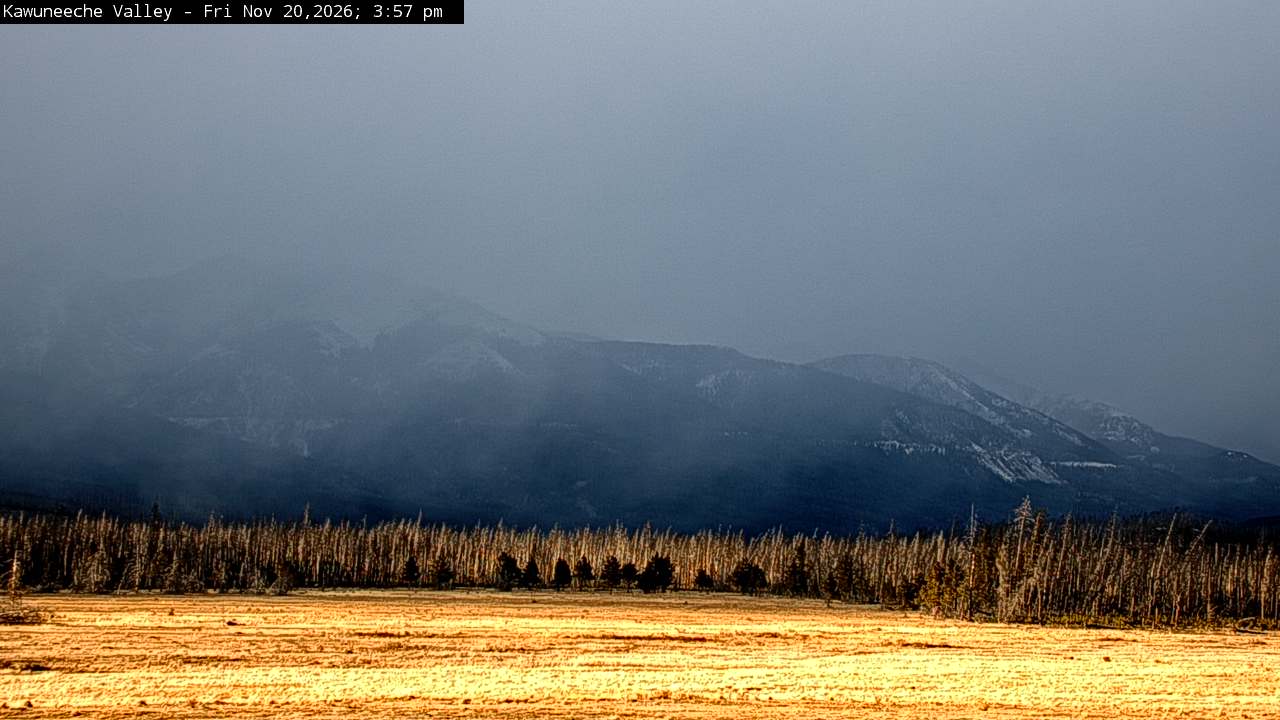 SnapshotChecking image…
Kawuneeche Valley inside Rocky Mountain National Park ( from National Park Service )
Source: www.nps.gov
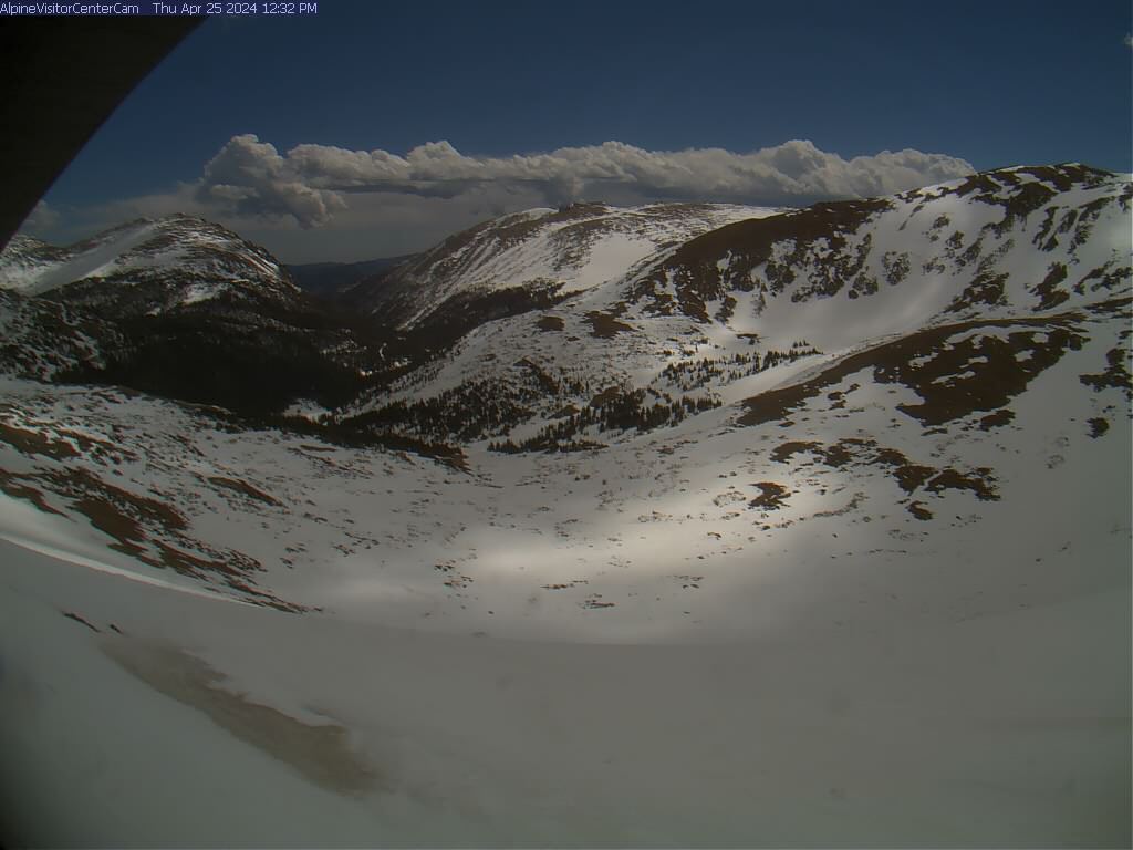 SnapshotChecking image…
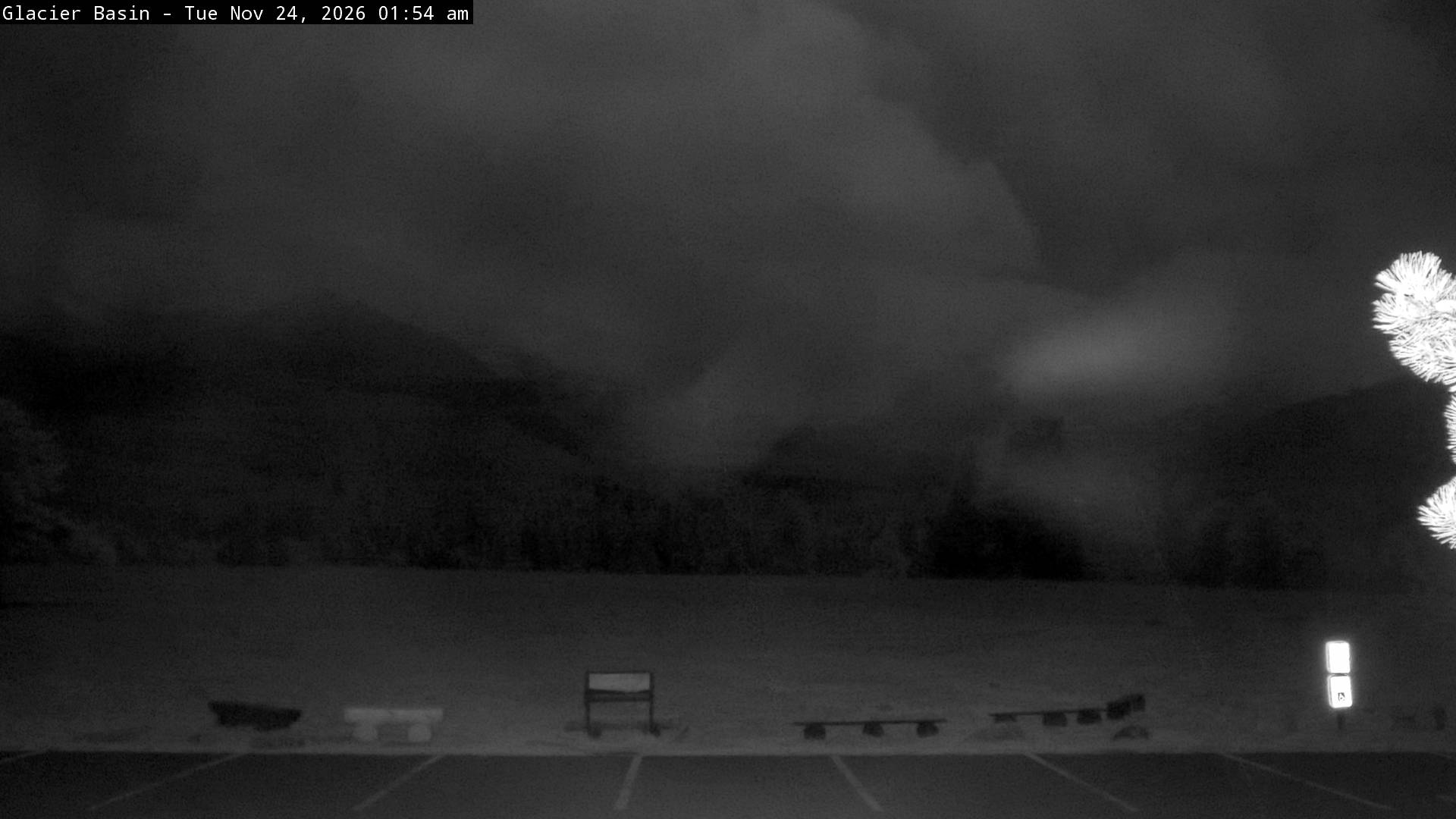 SnapshotChecking image…
Continental Divide at Glacier Basin Campground (from National Park Service )
Source: www.nps.gov
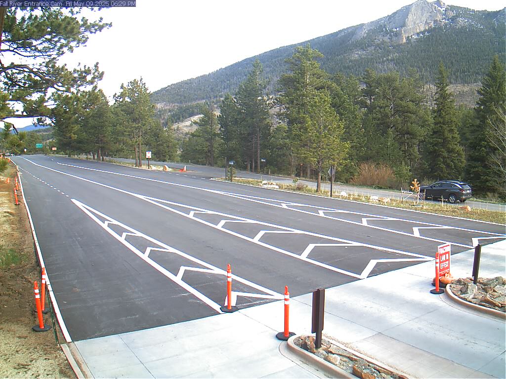 SnapshotChecking image…
US Highway 34 - Fall River entrance (from National Park Service )
Source: www.nps.gov
Feed status reflects a migration-time image request, not a guarantee that the image is current. Check the image timestamp. Camera imagery © the credited provider.
About Rocky Mountain National Park
Rocky Mountain National Park (RMNP) is one of the highest-elevation parks in the United States, located approximately 55 miles (89 km) northwest of Denver in north-central Colorado, sitting on the Front Range of the Rocky Mountains. The park is situated between the towns of Estes Park to the east and Grand Lake to the west. The eastern and westerns slopes of the Continental Divide run directly through the center of the park with the headwaters of the Colorado River located in the park’s northwestern region. The main features of the park include protected mountains, forests and alpine tundra, alpine lakes, meadows, and a wide variety of wildlife within various climates and environments, from wooded forests to mountain tundra. RMNP encompasses 265,461 acres (414.78 sq mi; 1,074.28 km2) of federal land, plus an additional 253,059 acres (395.40 sq mi; 1,024.09 km2) of U.S. Forest Service wilderness adjoining the park boundaries. RMNP’s elevations ranges from 7,860 to 14,259 feet (or 2,396 to 4,346 meters), with the highest point being Longs Peak. Sixty mountain peaks here are over 12,000 feet (3,658 meters), with 20 to 24 of those peaks being over 13,000 feet (3962.4 meters). Several small glaciers and permanent snowfields are found in the high mountain valleys of the park. There’s many different, wonderful hiking trails here with high scenic vistas, and offering over 350 miles (approx. 570 km) of hiking. Just too many trails to list here, but one of my favorites is the Keyhole Route, a 15 mile round-trip, with a elevation gain of over 5,100 feet. Its rated a Class 3 hike, with a climb that crosses vertical rock faces, and leads up to the summit of Longs Peak. While it’s for more experienced hikers, there’s numerous other easier trails here in RMNP, and the excellent trails are one reason why this place is one of the most visited national parks in the country. The park has a subarctic climate with cool but nice summers. Some of the colder spots in the park are at the Bear Lake Ranger Station (9,492 feet / 2,893 meters) with an average annual extreme minimum temperature of -15.2 °F (-26.2 °C), and at Beaver Meadows Visitor Center (7,825 feet / 2,385 meters), its average annual extreme minimum temperature is -16.1 °F (-26.7 °C). Below 9,400 feet (2,865 meters), temperatures are often moderate in the summer, although nighttime temperatures are always cool to cold, as is typical of mountain weather in Colorado. In July and August, temperatures are generally nice, in the 70s or 80s °F during the day. RMNP experiences heavy snowfall often, typically receiving over 150 inches (381 centimeters) annually at its higher elevations, while lower elevations see closer to 70 inches (178 centimeters). Snowfall is most intense from November to April, though high-elevation areas see and retain snow into the summer months. Trail Ridge Road, the park’s main road (and one of the most scenic mountain roads in the country), sees snowfall often exceeding 150–200 inches per year. Also keep in mind if you are planning a visit, the high-altitude trails and areas here above 8,000 feet (2,438.4 meters) often remain covered in packed snow and ice into late spring and early summer.
Camera credits & local resources
Rocky Mountain National Park on the map
Location from the original Keno map embed; it marks the destination, not each camera.
Keep exploring
Original Keno page · Original descriptions © Keno Internet Services.