Ouray
5 camera views · 1 stream embeds · Snapshots refresh every 60 seconds while visible.
Live streams
Click to load a provider's player. Pause or stop it when you're finished.
 SnapshotChecking image…
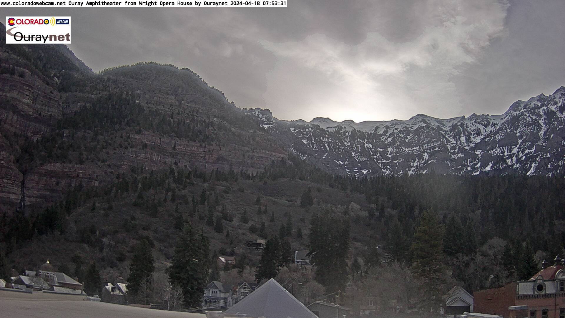
Ouray Amphitheater from Wright Opera House ( from ColoradoWedcam )
 SnapshotChecking image…
 SnapshotChecking image…
2.2 miles N of Ironton on Red Mountain Pass, South of Ouray
 SnapshotChecking image…
 SnapshotChecking image…
US-550: South of Ouray: Looking East at Ouray County Road 18
About Ouray
Ouray is the county seat and the most populous city of Ouray County, Colorado. The Town’s population was 898 as of the U.S. Census 2020. Named after Chief Ouray of the Utes, a Native American tribe, it is one beautiful place to visit. The town, sitting at 7,792 feet (2,375 meters) in elevation, is located in Colorado’s San Juan Mountains, and is called the “Switzerland of America”. It’s set in a geographic bowl formed by rugged and steep mountain sides that lead up to jagged 12,000 to 13,000 foot (3,658 to 3,962 meters) high peaks above the town. The entirety of Main Street is registered as a National Historic District, with most buildings dating from the late nineteenth century. Ouray is only 10 miles (16 km) northeast of Telluride, but due to the high mountain landscape between towns, the drive covers over 50 miles (80 km). Ouray is connected to Silverton and then Durango to the south by Red Mountain Pass which crests at just over 11,000 feet (3,400 meters). The drive over the pass on the “Million Dollar Highway” along the Uncompahgre River, is considered both one of the most beautiful and most dangerous roads in Colorado (due to its sharp turns, steep ledges, and lack of guard rails). The climate here in summer is warm in the day and cool at night, with brief afternoon thunderstorms. Autumn is cool, while early spring often sees the biggest snowfalls, with some snowstorms larger than what falls in winter. With that noted, Ouray on average sees approximately 138 to 140 inches (351 to 356 centimeters) of snow fall per snow season. The town’s highest temperature ever was 102°F (39°C), set on July 13, 1934. It’s coldest reading was -39°F (-39.4°C) on February 13, 1899.
Camera credits & local resources
Ouray on the map
Location from the original Keno map embed; it marks the destination, not each camera.
Keep exploring
Original Keno page · Original descriptions © Keno Internet Services.