Keno's Crestone Weather Station presentsColorado views, since 1999 · Weather station ↗
The Colorado webcam guide

Loveland and Windsor

4 camera views · Snapshots refresh every 60 seconds while visible.

View location ↗
◇Upstream image unavailableOpen provider to check availability ↗
unavailableProvider status, not site error

- First 2 cams from Larimer County - Carter Lake Marina (10 miles northeast of Loveland) Devil's Backbone Open Space trailhead (west of Loveland)

Source: apps.larimer.org
Devil's Backbone Open Space trailhead SnapshotChecking image…

Devil's Backbone Open Space trailhead

Source: apps.larimer.org
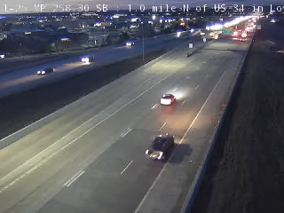
I-25 SB 1.0 mile N of US 34 in Loveland, Co (from CDOT) SnapshotChecking image…

I-25 SB 1.0 mile N of US 34 in Loveland, Co (from CDOT)

Source: cocam.carsprogram.org
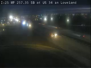
I-25 SB at US 34 in Loveland, Co (from CDOT) SnapshotChecking image…

I-25 SB at US 34 in Loveland, Co (from CDOT)

Source: cocam.carsprogram.org
Feed status reflects a migration-time image request, not a guarantee that the image is current. Check the image timestamp. Camera imagery © the credited provider.

About Loveland and Windsor

Loveland, Colorado (Note: This page may need reloading on some browsers for new views)

Camera credits & local resources

Loveland and Windsor on the map

Location from the original Keno map embed; it marks the destination, not each camera.

Keep exploring

Original Keno page · Original descriptions © Keno Internet Services.