 SnapshotChecking image…
County Rd 10 , Leadville, CO (This cam and the one below from Southern Fire Station Camera )
Source: raw.githubusercontent.com
5 camera views · Snapshots refresh every 60 seconds while visible.
SnapshotChecking image…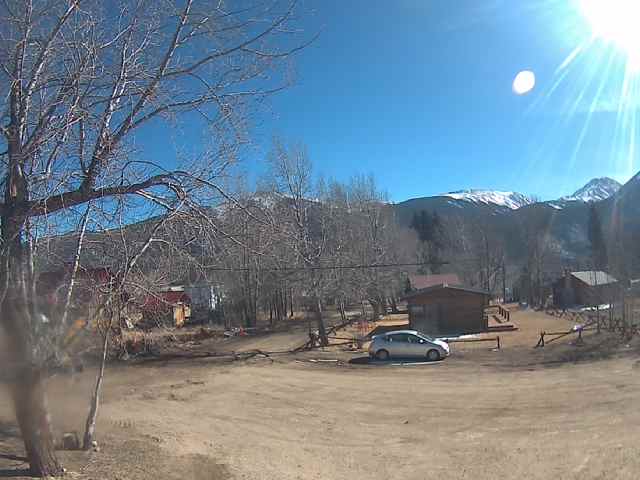 SnapshotChecking image…
 SnapshotChecking image…
 SnapshotChecking image…
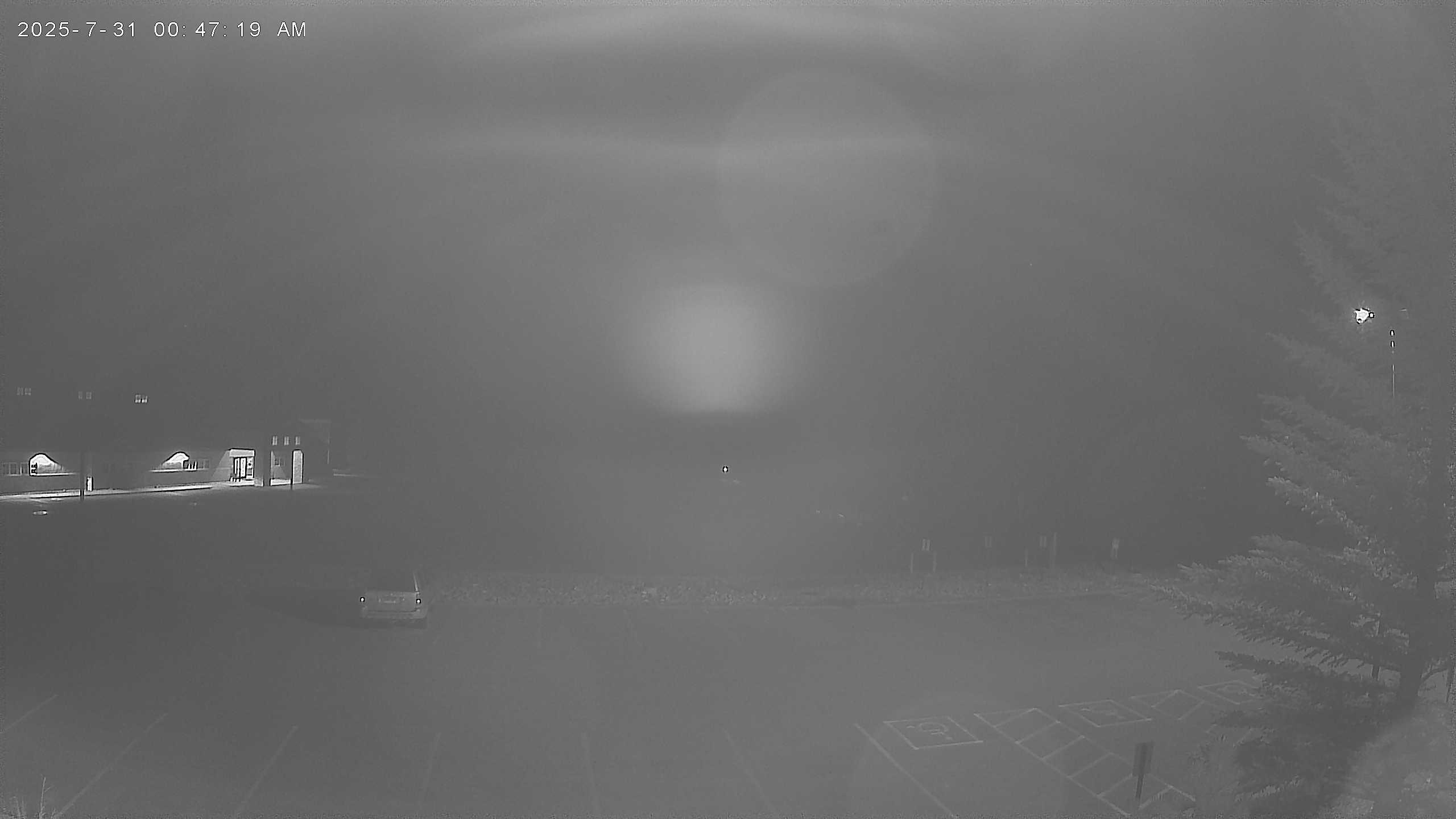 SnapshotChecking image…
Colorado Mountain College in Leadville, CO (from Colorado Mountain Collage )
Leadville is the county seat and only incorporated municipality in Lake County, Colorado. The town’s population was 2,633 at the 2020 U.S. Census. Situated at an elevation of 10,152 feet (3,094 meters), Leadville is the highest incorporated city in North America and the second highest incorporated municipality in the United States. A former silver mining town that lies near the headwaters of the Arkansas River in the heart of the Rocky Mountains, the Leadville Historic District contains many historic structures and sites from its mining era. The town of Leadville, founded in 1877, is surrounded by some of Colorado’s tallest peaks, and is flanked by Colorado’s two highest fourteeners: Mount Elbert (14,440 feet / 4,401 meters) and Mount Massive (14,429 feet / 4,398 meters). The town is in the geographic center of Colorado, on U.S. Hwy. 24, part of the Top of the Rockies scenic and historic byway. Denver is 100 miles /161 kilometers east and Colorado Springs is 128 miles / 205 kilometers southeast. Leadville has an alpine subarctic climate bordering on a cold semi-arid climate, with cold winters and mild summers. Average annual snowfall is 157 inches (400 centimeters). The most snowfall seen in one year was 362 inches (920 centimeters) in 1995, and the most snowfall in one month was 77.6 inches (197.1 centimeters) in May of 1995. Average annual precipitation is 13.52 inches (34 cm). The coldest temperature ever recorded in Leadville is -38°F ( -39°C), which occurred on February 1, 1985, with the warmest day being 86°F (30°C), reached at least 3 times, with the first time happening on June 23, 1954.
Location from the original Keno map embed; it marks the destination, not each camera.
Original Keno page · Original descriptions © Keno Internet Services.