 SnapshotChecking image…
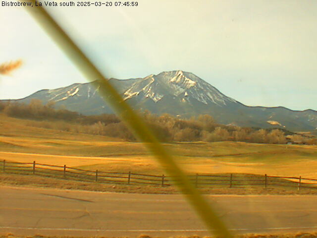
La Veta Pass (US Hwy 160, traffic furthest to cam is traveling west)
Source: cocam.carsprogram.org
8 camera views · Snapshots refresh every 60 seconds while visible.
SnapshotChecking image… SnapshotChecking image…
 SnapshotChecking image…
 SnapshotChecking image…
 SnapshotChecking image…
 SnapshotChecking image…
 SnapshotChecking image…
 SnapshotChecking image…
North La Veta Pass has an elevation of 9,413 feet (2,869 meters) and today is the principal highway route through this part of the Sangre de Cristo Mountain range, via U.S. Highway 160. This pass lies 1.6 miles northeast of Old La Veta Pass ( elevation 9,380 ft. [2,860 m]), which years ago was the original, main travel route in the area. There is also a third close by pass, Veta Pass, elevation 9,220 feet (2,810 meter), to the southeast of Old La Veta Pass.
Located in south central Colorado, on the boundary between Huerfano and Costilla counties, North La Veta Pass is the primary link between the Colorado eastern Great Plains and the San Luis Valley. US 160 covers a 48-mile (77.24 km) stretch on the pass, running west-east, starting just outside and to the east of Fort Garland (in Costilla County) to the western outskirts of the City of Walsenburg (the county seat of Huerfano County).
Many years ago, long before European settlers arrived here, La Veta Pass served as a gathering point for many Native American tribes including the Ute, Navajo, and Cheyenne tribes. Throughout the 1800’s the pass became popular among trappers and miners exploring the territory. In 1877, the high elevation Rio Grande Railroad was completed and in turn, brought many tourists and businessmen over the pass. A small community even developed in the area for a time, though all the buildings there were destroyed by fire. In 1962, US Highway 160 was officially opened over the pass, traversing the new “North La Veta Pass”, and today this paved road serves as the main vehicular route through the area.
The La Veta Pass Automated Weather Observing System (AWOS) is located at the top of La Veta Pass, 4 miles south of Highway 160, sitting at 10,216 feet (3,114 meters). The pass features a severe alpine-influenced climate with long, freezing, and snowy winters alongside cool, comfortable summers. Temperatures typically range from 17 to 75 annually, rarely dropping to or below zero (°F). The area is windy, and often sees heavy snows, especially in the spring. It sees a total annual snowfall averaging 100.3 inches (255 cm) and experiences snow for up to 8 months, generally starting in October and lasting until May, based on climate data from its weather station.
Location from the original Keno map embed; it marks the destination, not each camera.
Original Keno page · Original descriptions © Keno Internet Services.