 SnapshotChecking image…
1.1 miles E of Horizon Dr in Grand Junction ( CDOT Cam)
Source: cocam.carsprogram.org
7 camera views · Snapshots refresh every 60 seconds while visible.
SnapshotChecking image…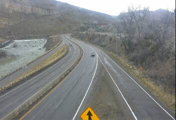 SnapshotChecking image…
 SnapshotChecking image…
 SnapshotChecking image…
 SnapshotChecking image…
Palisade is a town in Mesa County, Colorado and is part of the Grand Junction Metropolitan Statistical Area. The population was 2,692 at the 2010 census. The community was named for the cliffs near the town.
Grand Junction has a cold semi-arid climate. Sitting in a large area of high desert lands in Western Colorado makes the winters here cold and dry. Snowfall is low compared to the rest of Colorado, averaging 17.6 inches (45 cm) per season; only once in the entire period of record dating to 1893, has 10 inches (25 cm) of snow fallen in a calendar day. Summers here are hot and dry and averages 68 days a year with temperatures at 90°F (32°C) or above, and an average 8 days attaining 100°F (38°C) or more. The area receives little liquid precipitation year-round, averaging 9.05 inches (22.9 cm). Hottest ever temperature was on July 17, 2023 when the thermometer reached 107°F (41.7°C), and the coldest ever reading was -24°F (-32°C) on January 13, 1963.
Location from the original Keno map embed; it marks the destination, not each camera.
Original Keno page · Original descriptions © Keno Internet Services.