The Colorado webcam guide
Glenwood Springs
5 camera views · 2 stream embeds · Snapshots refresh every 60 seconds while visible.
Live streams
Click to load a provider's player. Pause or stop it when you're finished.
Grand Avenue Bridge in Glenwood Springs Live Camera
Open stream provider ↗ SnapshotChecking image…
I-70 0.4 miles E of Grand Ave, by Colorado River, in Glenwood Springs
Source: cocam.carsprogram.org
 SnapshotChecking image…
 SnapshotChecking image…
 SnapshotChecking image…
 SnapshotChecking image…
Derereux Road, Glenwood Springs, by Colorado River - Last cam from https://www.camscape.com - Grand Ave Bridge in Glenwood Springs
Source: www.coloradowebcam.net · URL repaired
Feed status reflects a migration-time image request, not a guarantee that the image is current. Check the image timestamp. Camera imagery © the credited provider.
About Glenwood Springs
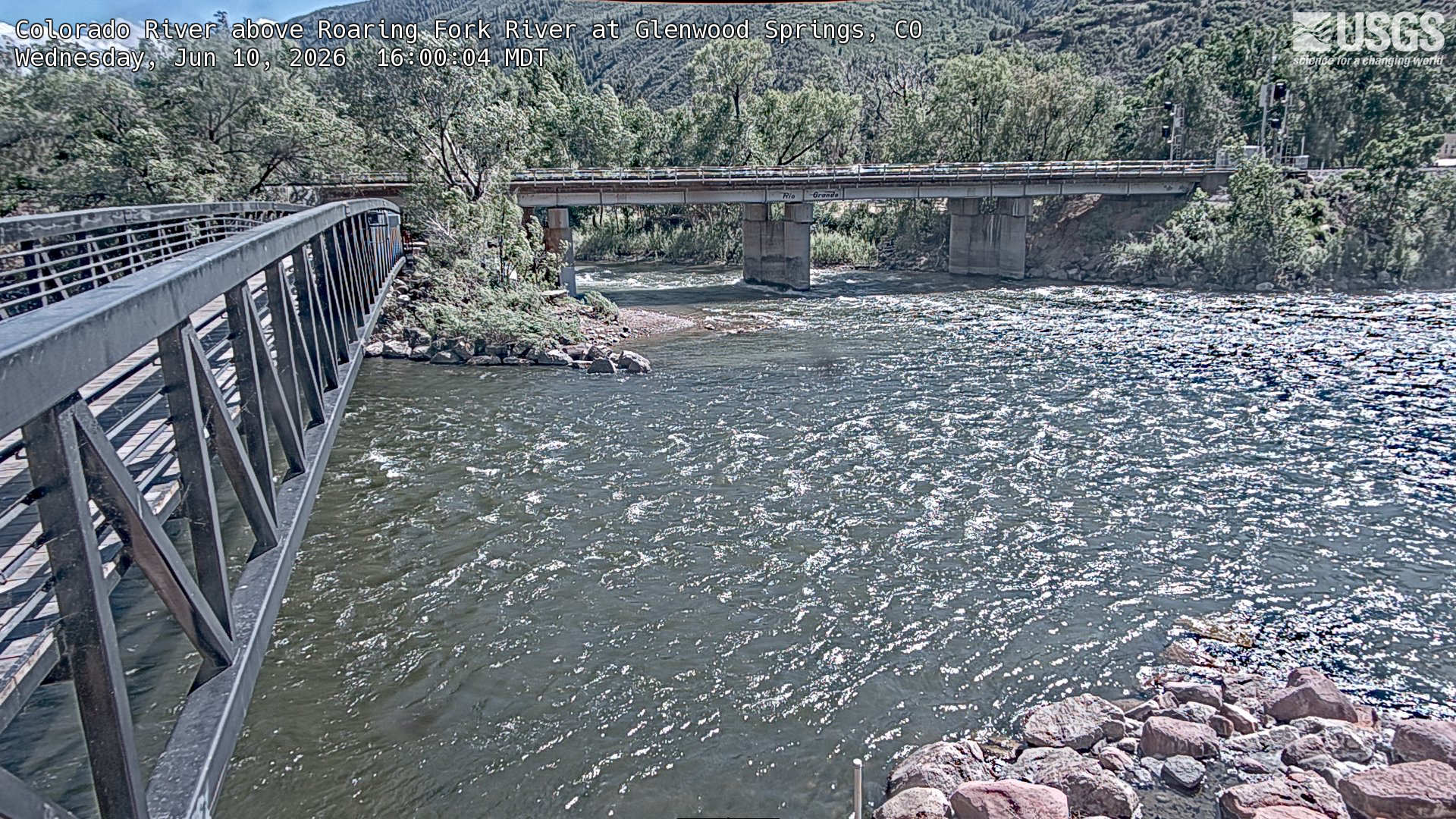
Sunlight Mountain Resort, Glenwood Springs (from Live World Webcams ) - Next 2 Cams from CDOT - I-70 0.4 miles E of Grand Ave, by Colorado River, in Glenwood Springs I-70 east of Glenwood Springs 0.3 miles east of No Name Tunnel Roaring Fork River meets Colorado River, Glenwood Springs (from USGS ) - Next 2 Cams below from www.coloradowebcam.net - West Glenwood Springs
The town of Glenwood Springs is the county seat and the most populous municipality of Garfield County, Colorado, located in a narrow mountain valley, at the confluence of the Roaring Fork River and the Colorado River. As of the 2020 census it had a population of 9,963, with the town’s elevation at 5,761 feet (1,756 meters). Glenwood Springs was once a miner community but is now a major resort town. This historic town, surrounded by the vast White River National Forest, was once known as “Defiance”, a camp of tents, saloons, and brothels. Today it’s home to healing hot springs, Glenwood Caverns (ancient underground caves) and Glenwood Canyon, which features the very cool Hanging Lake, just 2.6 miles from downtown. Sunlight Mountain Resort is a ski resort located near Glenwood Springs. With 73 trails and over 2,000 feet of vertical, Sunlight is not tiny by any means. It is a great place for skiers and families who want to avoid the aggravation of lift lines and traffic at bigger mountains. Glenwood Springs has a generally continental steppe climate, with more consistently stable weather than that of the Colorado Front Range and most of the state, though it’s still prone to periods of extreme weather. Microclimates dominate Glenwood Springs, with areas close to the rivers often much more damp and cool than the hillsides. Climate data for Glenwood Springs goes all the way back to 1893, with the hottest temperature ever officially recorded being 108°F (42°C), which was set on July 12, 1939. The coldest reading ever was -38°F (-39°C) in January of 1913. The town receives an average annual snowfall of 59.4 inches (152 centimeters), with average rainfall of 17.2 inches (43.7 centimeters) per year.
Camera credits & local resources
Glenwood Springs on the map
Location from the original Keno map embed; it marks the destination, not each camera.
Keep exploring
Original Keno page · Original descriptions © Keno Internet Services.