The Colorado webcam guide
Durango
6 camera views · 1 stream embeds · Snapshots refresh every 60 seconds while visible.
Live streams
Click to load a provider's player. Pause or stop it when you're finished.
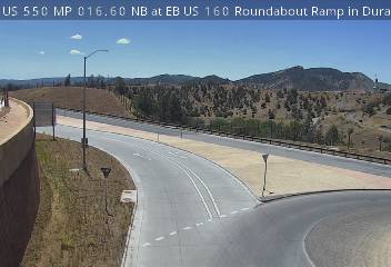
Fort Lewis College - View of Downtown Durango (From Fort Lewis College ) US-550 at at EB US 160 Roundabout Ramp in Durango (from CDot )
Source: cameras.fortlewis.edu
 SnapshotChecking image…
Fort Lewis College - View of Downtown Durango (From Fort Lewis College ) US-550 at at EB US 160 Roundabout Ramp in Durango (from CDot )
Source: cocam.carsprogram.org
 SnapshotChecking image…
US-550 @ Animas View Dr/CR-203: Looking South (from CDot )
Source: cocam.carsprogram.org
 SnapshotChecking image…
CDOT cam - Hwy 550/160 (Intersection, looking North) (from CDot )
Source: cocam.carsprogram.org
 SnapshotChecking image…
 SnapshotChecking image…
US-550 @ Animas View Dr/CR-203: looking North (from CDot )
Source: cocam.carsprogram.org
Feed status reflects a migration-time image request, not a guarantee that the image is current. Check the image timestamp. Camera imagery © the credited provider.
About Durango
The City of Durango, founded in 1880, is the county seat and the most populous municipality of La Plata County, Colorado. The U. S. Census Bureau reported a growing population of 19,071 in 2020. The city was named after Durango, Mexico. Its elevation is 6,512 feet (1,988 meters). Durango is the home of Fort Lewis College, a public liberal arts college.
Situated in Southwest Colorado, the small city is surrounded by diverse landscapes, ranging from the Animas River Valley’s sandstone bluffs to the San Juan Mountains’ jagged peaks — with the city offering authentic Western heritage and culture and access to the great outdoors. It’s also home to the Durango & Silverton Narrow Gauge Railroad, which for 140 plus years has been transporting passengers through the remote, scenic wilderness and high mountain landscape of the San Juan National Forest.
According to the Köppen climate classification system, Durango has a mediterranean-influenced humid continental climate. It’s hottest day ever occurred on July 5, 1989 when the thermometer hit 102°F (39°F); while the coldest day was −30°F (−34.4°C) on January 13, 1963. January is typically the city’s coldest month and July its warmest. Durango receives an average annual snowfall of ~71 inches (180 centimeters ), however, since the 1990s, and thanks directly to climate change, the average snowfall has dropped to ~65 inches (165.1 centimeters) each snow season.
Camera credits & local resources
Durango on the map
Location from the original Keno map embed; it marks the destination, not each camera.
Keep exploring
Original Keno page · Original descriptions © Keno Internet Services.