Keno's Crestone Weather Station presentsColorado views, since 1999 · Weather station ↗
The Colorado webcam guide

Colorado/New Mexico Border

8 camera views · Snapshots refresh every 60 seconds while visible.

View location ↗
US 160 by the 4 Corners area: Looking West Looking west to the 4 corners, where the states of Colorado, New Mexico, Utah and Arizona all meet. (from CDOT, It's so sad that this cam has been down for so long.) SnapshotChecking image…

US 160 by the 4 Corners area: Looking West Looking west to the 4 corners, where the states of Colorado, New Mexico, Utah and Arizona all meet. (from CDOT, It's so sad that this cam has been down for so long.)

Source: cocam.carsprogram.org
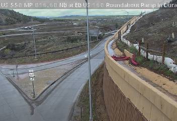
US 550 NB at US 160 Roundabout Ramp south of Durango: Looking East (from CDOT) SnapshotChecking image…

US 550 NB at US 160 Roundabout Ramp south of Durango: Looking East (from CDOT)

Source: cocam.carsprogram.org
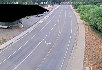
CO 172 WB at CO-172/Becker St, Ignacio, CO: Looking South (from CDOT) SnapshotChecking image…

CO 172 WB at CO-172/Becker St, Ignacio, CO: Looking South (from CDOT)

Source: cocam.carsprogram.org
CO-17: 4.0 miles North of New Mexico Border (from CDOT) SnapshotChecking image…

CO-17: 4.0 miles North of New Mexico Border (from CDOT)

Source: cocam.carsprogram.org
CO 159 MP 000.00 NB at New Mexico Border SnapshotChecking image…

CO 159 MP 000.00 NB at New Mexico Border

Source: cocam.carsprogram.org
CO 17 MP 039 SB at US 285 in Antonito: Looking East, just North of New Mexico Border SnapshotChecking image…

CO 17 MP 039 SB at US 285 in Antonito: Looking East, just North of New Mexico Border

Source: cocam.carsprogram.org
I-25 SB: MP 007.65 SB at Exit Rd 8 in Trinidad, North of New Mexico Border (from CDOT) SnapshotChecking image…

I-25 SB: MP 007.65 SB at Exit Rd 8 in Trinidad, North of New Mexico Border (from CDOT)

Source: cocam.carsprogram.org
I-25 at Raton Pass - New Mexico side SnapshotChecking image…

I-25 at Raton Pass - New Mexico side

Source: servicev4.nmroads.com
Feed status reflects a migration-time image request, not a guarantee that the image is current. Check the image timestamp. Camera imagery © the credited provider.

About Colorado/New Mexico Border

The two states share a straight-line boundary along the 37th parallel north, extending from the Great Plains in the east to the desert mesas in the west. In the southwestern corner, this border converges with Utah and Arizona at the Four Corners, the only geographic point in the United States where four states—Arizona, Colorado, New Mexico, and Utah—meet. Live webcams along the Colorado-New Mexico border are primarily monitored by the Colorado Department of Transportation (CDOT) and the New Mexico Department of Transportation (NMDOT).

US 160 by the 4 Corners area: Looking West Looking west to the 4 corners, where the states of Colorado, New Mexico, Utah and Arizona all meet. (from CDOT, It’s so sad that this cam has been down for so long.)

Camera credits & local resources

Colorado/New Mexico Border on the map

Location from the original Keno map embed; it marks the destination, not each camera.

Keep exploring

Original Keno page · Original descriptions © Keno Internet Services.