◇Provider restricted this requestOpen provider to check availability ↗
blockedProvider status, not site errorBlack Canyon of the Gunnison National Park, Colorado (from National Park Service )
Source: www.nps.gov
2 camera views · Snapshots refresh every 60 seconds while visible.
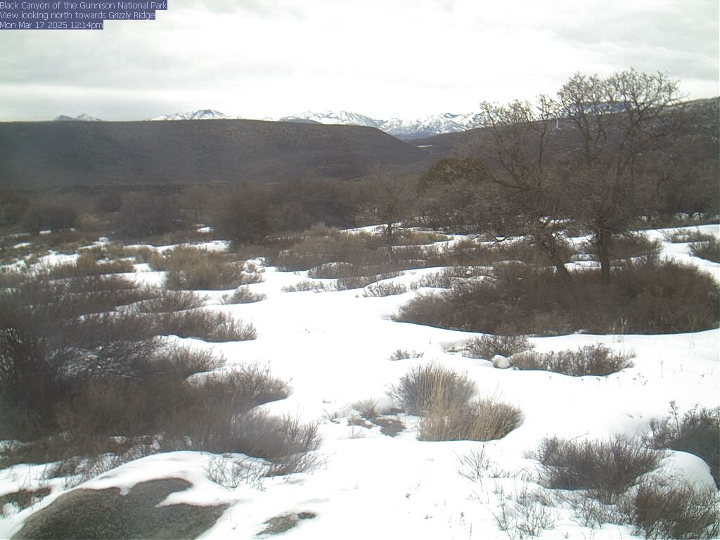 SnapshotChecking image…
(Note: This page may need reloading on some browsers for new views)/span>
The park is currently in the process of replacing their webcams. They thank you for your patience during this time.
Black Canyon of the Gunnison National Park, Colorado (from National Park Service )
If you like, you can drive through both the South and North Rims of Black Canyon of the Gunnison National Park via scenic, paved (South) and unpaved (North) roads, allowing for easy access to numerous overlooks. The South Rim Road offers 12 viewpoints over roughly 7 miles, while the more rugged North Rim provides a quieter, 7-mile scenic drive. In Black Canyon of the Gunnison, you will see some of the steepest cliffs, oldest rocks, and craggiest spires found in North America. Forces of nature and the Gunnison River sculpted this canyon over two million years. The result is a vertical wilderness of rock, water, and sky. Wildlife in the park includes mule deer, elk and golden eagles. Black Canyon of the Gunnison National Park has a warm-summer continental climate. Average yearly precipitation in inches is 19.95 inches (507 mm), while its average annual snowfall is 121 inches (306 cm).
Location from the original Keno map embed; it marks the destination, not each camera.
Original Keno page · Original descriptions © Keno Internet Services.